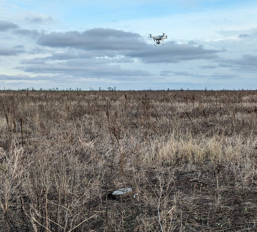
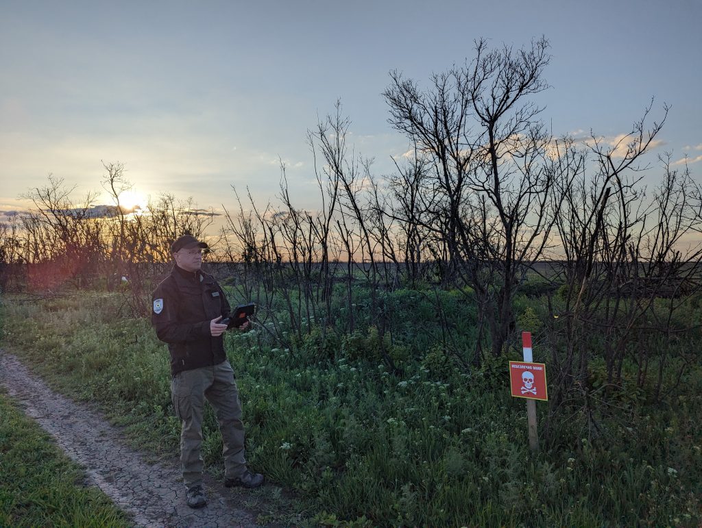
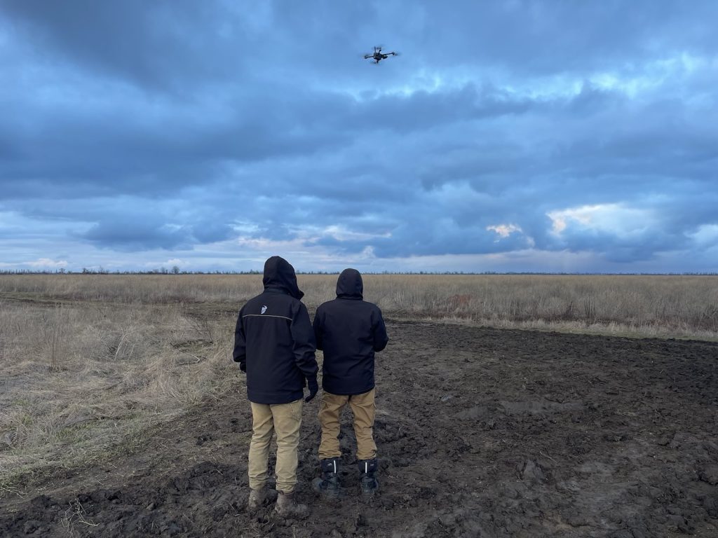
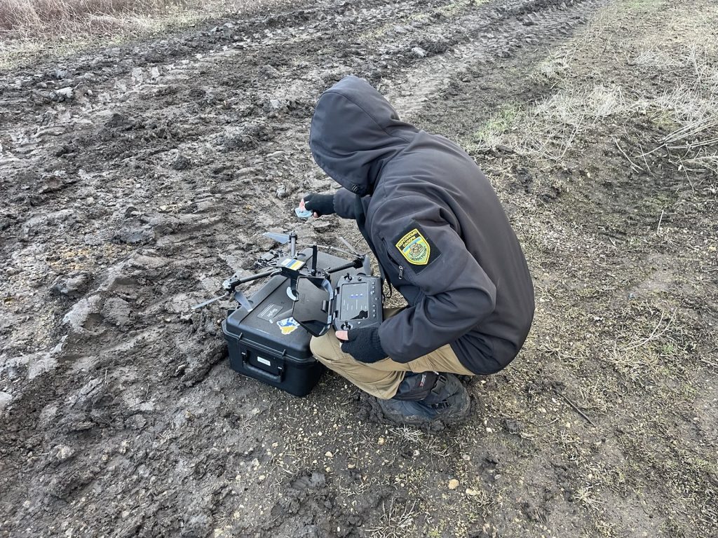
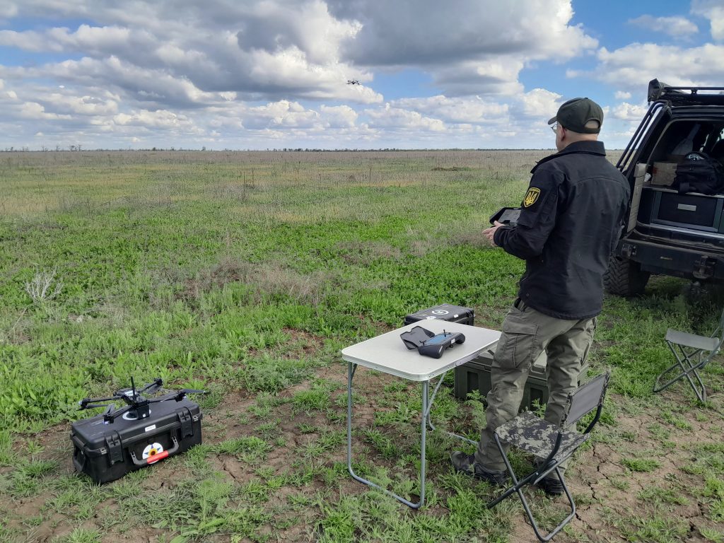
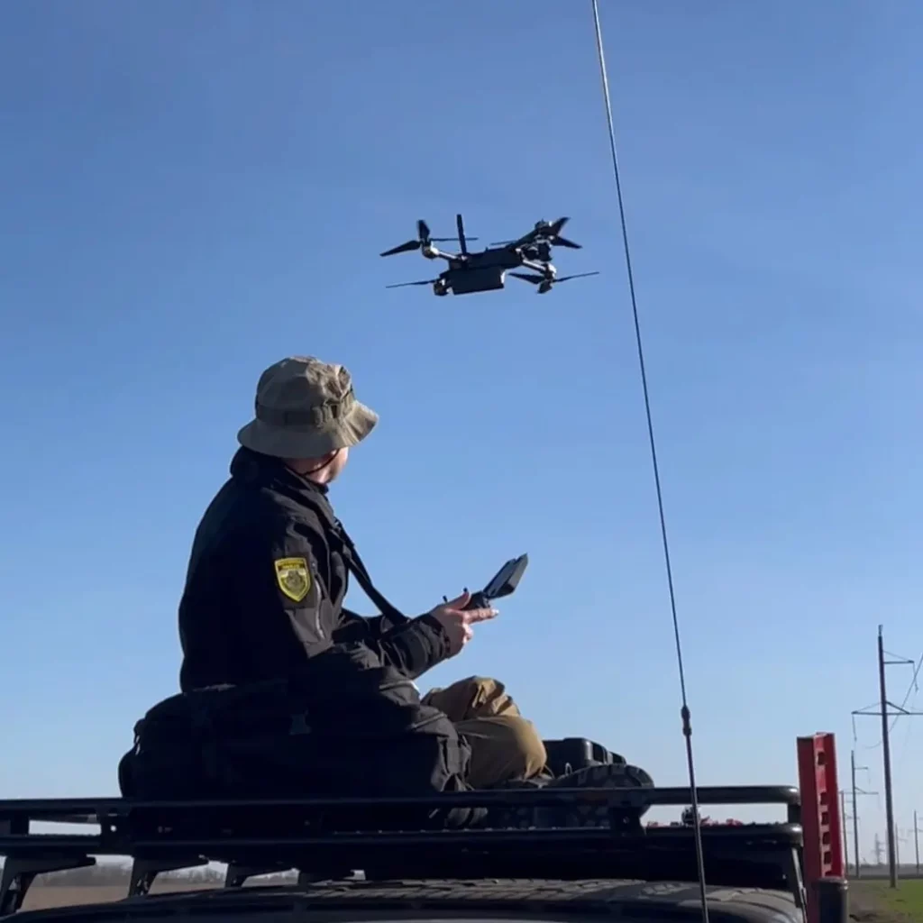
As part of our mine and UXO disposal program, we have partnered with both charitable organizations and corporations, including Invictus Global Response, Prevail,Safe Pro AI and Smart Aid, to perform aerial surveys of the liberated territories of Ukraine in search of explosive remnants of war (ERW). Our goal is to provide maps of the locations of ERW to the authorities responsible for clearing the land, as well as to local communities in an effort to minimize the danger to citizens.
As of May 2026, we have surveyed over 3100 hectares (7660 acres) of land in the Chernihiv, Kyiv, Mykolaiv, Kherson, and Kharkiv regions. With the help of Spotlight AI, a visual recognition system specially designed for our purposes, we have located and documented over 9800 pieces of ERW.
We could not have achieved this without donations of drones and other equipment by Eyes on Ukraine, ERW recognition software by Safe Pro AI, and funding from our community in the US and Europe.
We are currently working on our organizational accreditation for conducting Non-Technical Surveys (NTS) on the territory of Ukraine. This will allow us to officially participate in the land release process. The accreditation process is expensive, and we could use your help to fund it!
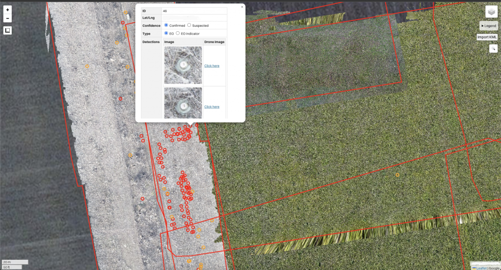
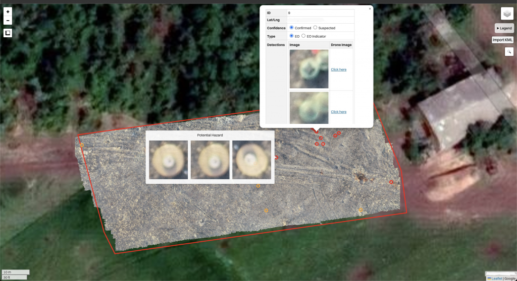
Some Examples of Our Work
Minefield in the Mykolaiv region with 389 pieces of explosive ordnance.
Village in the Kherson region with a minimum of 49 pieces of explosive ordnance.
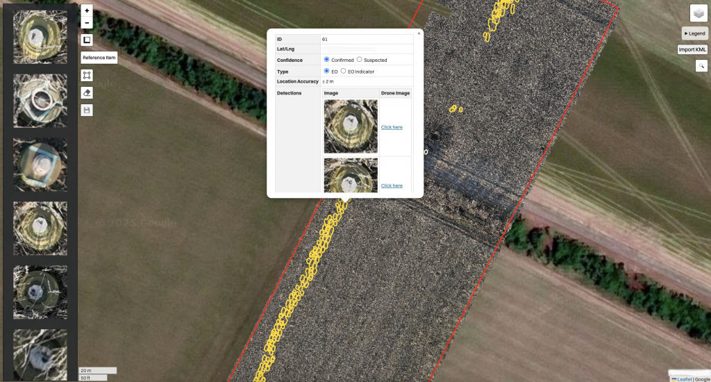
Minefield in the Mykolaiv region with 343 pieces of explosive ordnance.
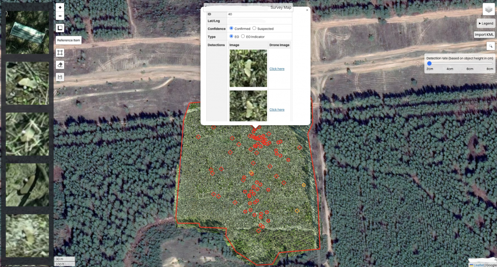
Minefield in the Kharkiv region with over 100 pieces of explosive ordnance.
We are a 501c3 Tax Exempt Nonprofit Organization.
Donations received after March 8th, 2022 are fully tax deductible.